Chapter 01
On the Rim of Two Valleys.
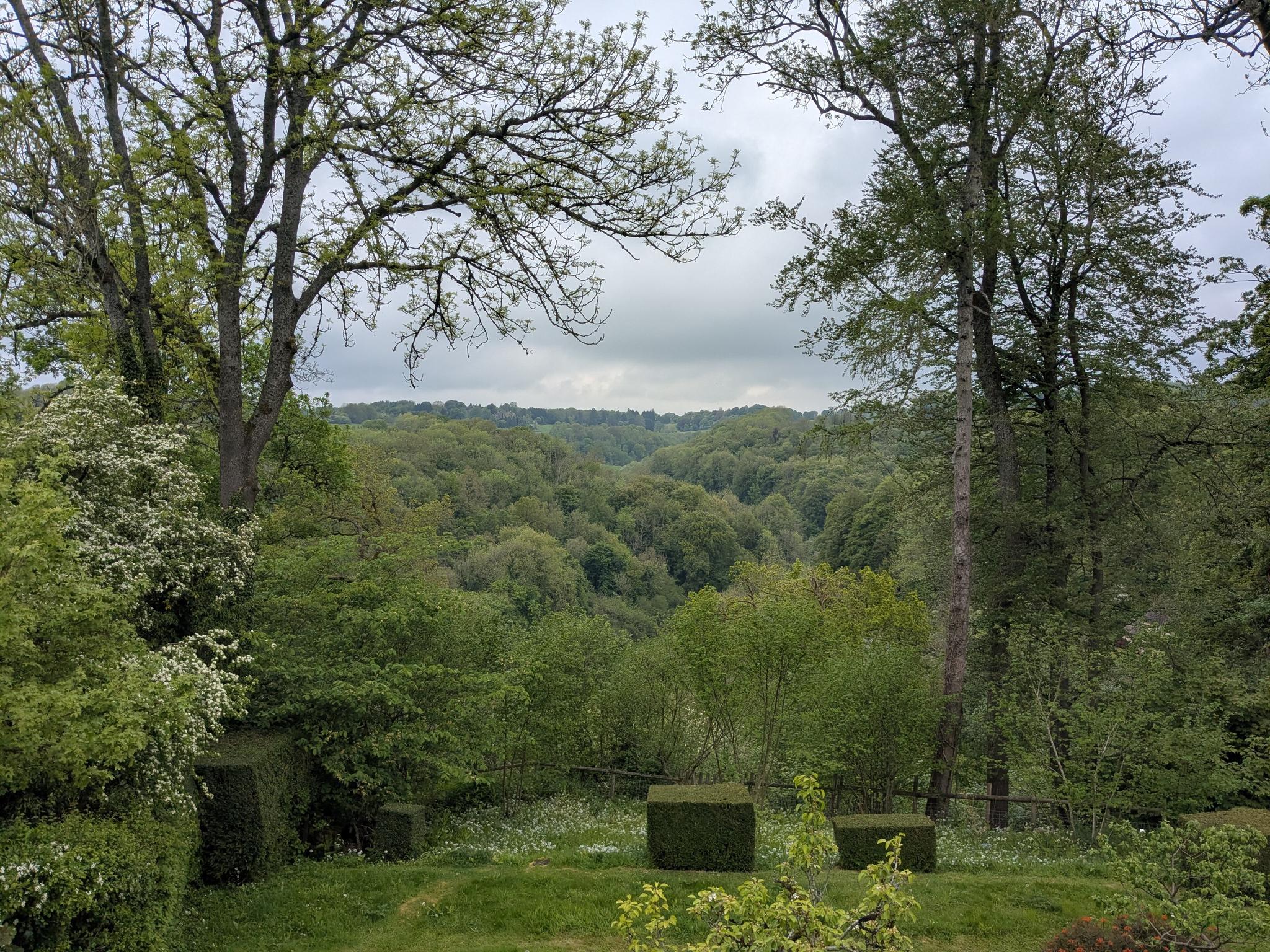
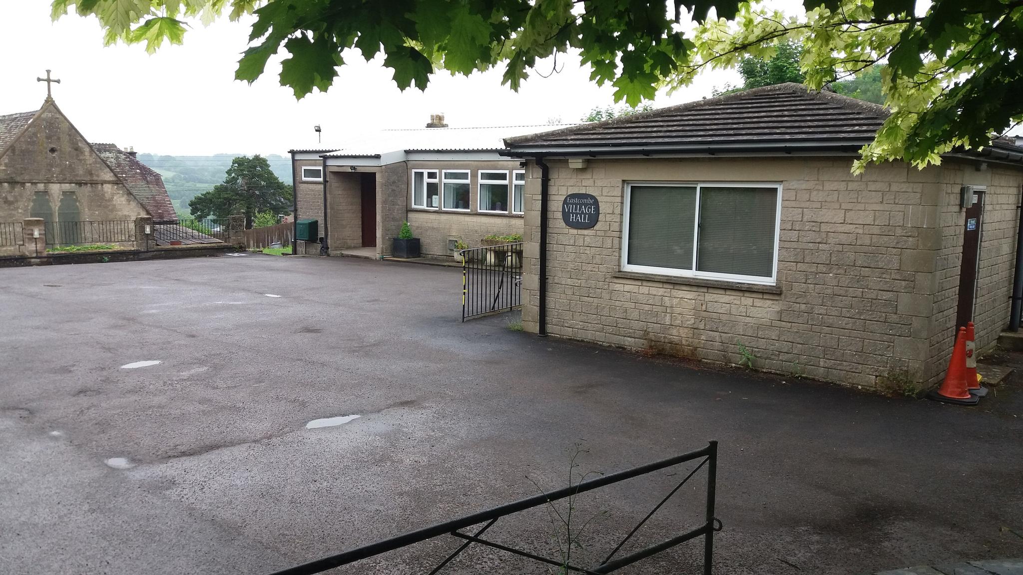
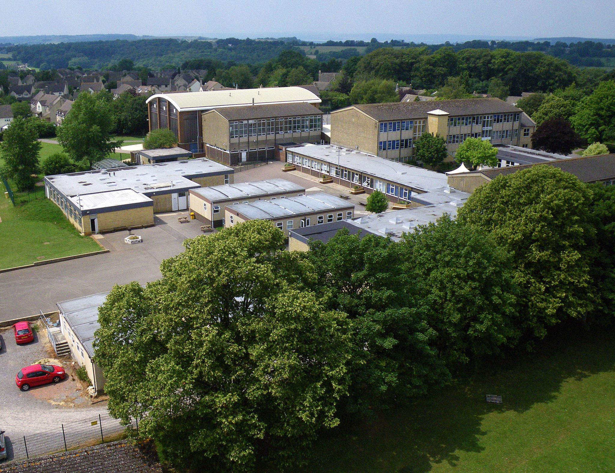
The geography is the village. Eastcombe runs along the lip of the central plateau in Bisley-with-Lypiatt parish, with the Toadsmoor Valley dropping away to the south and west and the Frome Valley folding round to the south-east. Toadsmoor itself — *Todsmore*, the moor of the foxes — is Stroud's quietest valley: a steep wooded combe with the remains of three former cloth mills below the fishponds, ancient coppice cover that maps show has barely changed in 200 years, and at the centre Toadsmoor Lake, listed as part of Stroud's industrial heritage and the conservation area's most important single visual asset. The walking out of the village is exceptional. A 10-km circular drops from the roadside in Eastcombe down through Toadsmoor Woods to the lake and back via Bismore — the old hamlet at the foot of the stream, whose Bismore Bridge (also called Swilley Bridge) was the start of a 1516 routeway linking the valley to Gloucester, Painswick and Cheltenham. Step the other way and you cross Cowswell Lane and Bussage Playing Field into Frith Wood, an Ancient Woodland and Local Wildlife Site that survives as the largest remnant of the medieval wood that once cloaked the whole tything. The village is GL6 7; the postcode for the school and village hall is GL6 7EA, the pub GL6 7DN. The whole of the historic core sits inside Conservation Area No.38, designated by Stroud District in January 1991, and inside the Cotswold National Landscape (AONB).
Chapter 02
A Cloth-Worker's Village That Refused To Hollow Out.
Eastcombe was built by people climbing up out of the Stroud valley. From the late 16th century until the cloth industry's late-18th-century collapse, weavers and cloth workers migrated north out of the Chalford mills and built stone cottages on Bisley Common — the 1,200-acre area of woodland and grazing that had been given over to the poor for plots and building stone as far back as Henry II's reign. Eastcombe is one of those settlements: dwellings recorded from 1571, the original Bussage tything described as stretching from Bisley Common in the east to the Toadsmoor stream in the west. The administrative shape it sits in today was set in 1894, when the southern half of the old Bisley parish broke away to form Chalford and the remainder became Bisley-with-Lypiatt — a single civil parish split across three wards based on the hilltop villages of Bisley, Eastcombe and Oakridge. Eastcombe returns four parish councillors, has its own conservation area appraisal adopted in 2024, runs its own monthly newsletter jointly with Bussage and Brownshill (sold at the village stores and Frith Community Café), and is currently working through a Neighbourhood Development Plan. The recreation ground playground refurbishment was actively being fundraised through 2024–25 — the kind of small-scale, village-driven capital project that tells you the community infrastructure is still owned, in every sense, by the people who use it.
---